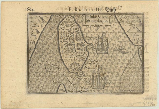
Subject: Mozambique
Period: 1612 (circa)
Publication:
Color: Black & White
Size:
5 x 3.5 inches
12.7 x 8.9 cm
Charming miniature map of an island off the coast of Mozambique with its natural harbor. The map is oriented with north to the right. The island is dominated by a Portuguese fort and town, which housed approximately 40 to 50 families according to the text. A strapwork cartouche, two galleons, and a fishing boat complete the composition. Engraved by Pieter van den Keere. German text on verso, published in 1612 or 1650.
This map was first published by Cornelius Claesz and printed by Barent Langenes in the 1598 edition of the popular Map-Treasury. The map was used in multiple editions through 1650.
References: King (2nd ed.) pp. 80-82; Van der Krogt (Vol. III) #8830:341.
Condition: A
A dark impression with one faint spot in map and a bit of show-through of text on verso.


