Subject: Geography Books
Period: 1837 (published)
Publication:
Color: Hand Color
Size:
7.5 x 11.3 inches
19.1 x 28.7 cm
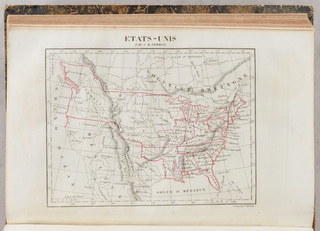
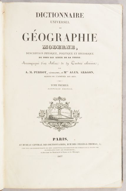
This comprehensive French geography book contains 58 of the 59 called for maps. Part I, with 508 pages, covers the A through G terminology and Part II, with 563 pages, covers H through Z. The maps have attractive outline color, and show cities, towns, topography and watersheds. Of particular interest is the map of the United States (Etats-Unis) which labels the state of Missouri as Jefferson. Below Jefferson is a full-sized Arkansas Territory that stretches into most of present-day Oklahoma. To its north is a vast Missouri Territory in the middle of the country inhabited by Sioux, Osages, and other tribes. The Pacific Northwest is labeled as Columbia and extends north to the 54th parallel, a reflection of the famous 54-40 or Fight controversy. 1,071 total pages. Hardbound in quarter calf over marbled boards with gilt title and decorative elements on the spine.
References:
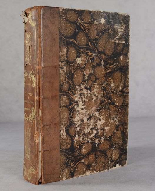
Condition: B+
The maps and text are mostly clean and bright with occasional minor toning or spot of foxing. A couple of maps are partially loose (Hanover and Lombardy). The map of Bavaria has some waviness and has been backed with old paper along the gutter on verso. Hinges are starting, the covers are scuffed and worn, and the spine has a few chips at the head and tail.


