Catalog Archive
Auction 195, Lot 10
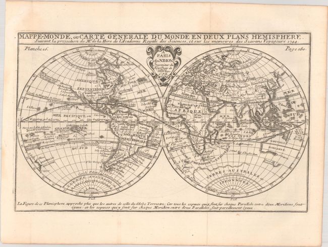
"Mappe-Monde, ou Carte Generale du Monde en Deux Plans Hemisphere Suivant la Projection de Mr. de la Hire de l'Academie Royale des Sciences...", Bion, Nicolas

Subject: World
Period: 1744 (dated)
Publication:
Color: Black & White
Size:
10.4 x 6.4 inches
26.4 x 16.3 cm
Download High Resolution Image
(or just click on image to launch the Zoom viewer)
(or just click on image to launch the Zoom viewer)

