Subject: Northern Minnesota & Northwestern Ontario
Period: 1926 (circa)
Publication:
Color: Printed Color
Size:
22.4 x 16.5 inches
56.9 x 41.9 cm
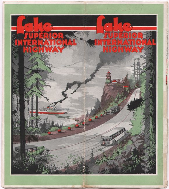
This rare promotional tourism map of the "Lake Superior International Highway" (now known as the North Shore Drive) was compiled and distributed by Minnesota Arrowhead Association in Duluth, MN. Split into two horizontal strip maps, the map spans from Duluth to the Nipigon River in Ontario. Notable towns and cities are identified along the route, including Two Harbors, Grand Marais, Grand Portage, Fort William and Port Arthur (after 1970, Thunder Bay), Amethyst Harbor, and Nipigon. U.S. and Canadian customs checkpoints are located at the international boundary. Eleven black & white photographs decorate the map, showing locations such as Splitrock Lighthouse, the Port Arthur Hotel, and Kakabeka Falls. There is a decorative title cartouche and a compass rose with an arrowhead that orients the north to top right. On verso is copy on the "Land of Romance" and more black & white photographs. Self-folds into a brochure (4.0 x 9.0") with charming illustrated covers, signed by Long and with the imprint Stewart-Taylor Co. Issued jointly by the Fort William, Canada Civic Tourist Bureau and the Port Arthur, Canada Chamber of Commerce.
References:
Condition: B
Issued folding with two long separations along a vertical fold that have been partially closed on verso with tape.


