Subject: United States, Texas
Period: 1847 (dated)
Publication:
Color: Black & White
Size:
14 x 10.1 inches
35.6 x 25.7 cm
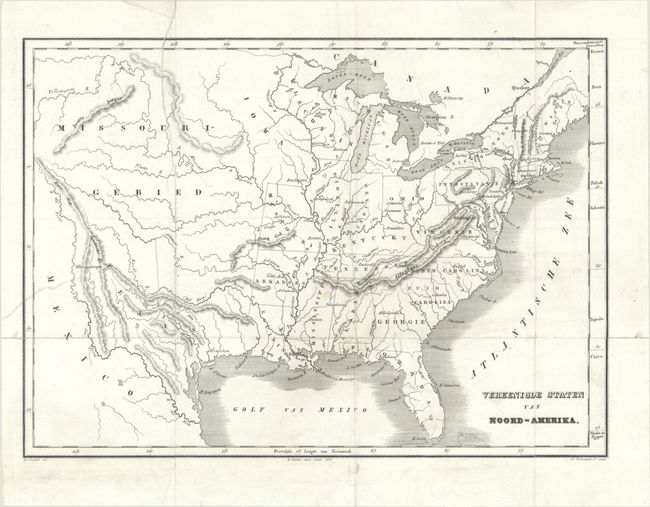
A handsome Mexican-American War era Dutch map showing the United States extending to the Rocky Mountains. Iowa Territory is in its largest configuration and includes much of Minnesota. A vast Missouri Territory covers most of the central United States. Texas is presented in its large stovepipe configuration, with its northern boundary extending well into present-day Colorado. We found no past sales records for this map and only one institutional listing in OCLC. Published by H. Frijlirk in Amsterdam.
References:
Condition: B
Issued folding on a bright sheet with numerous fold separations and short tears that have been closed on verso with archival tape.


