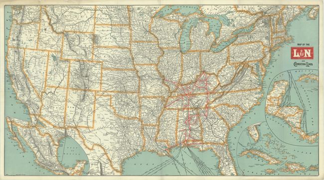
Subject: United States
Period: 1907 (circa)
Publication:
Color: Printed Color
Size:
35 x 19.2 inches
88.9 x 48.8 cm
A detailed map of the United States showing the lines of the Louisville & Nashville Railroad in red overprinting, extending from St. Louis and Cincinnati south to New Orleans. Connecting railroad lines are delineated and named throughout the rest of the country, while steamship routes are depicted from New Orleans, Mobile and Pensacola with inset maps linking these ports to Mexico, Central America, and the Greater Antilles. Circa date is based upon Guthrie being the capital of Oklahoma.
References:
Condition: A
Issued folding on a clean bright sheet. There is a small paper label adhered to the top right sheet corner on verso.