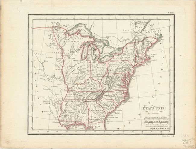
Subject: Eastern United States
Period: 1815 (circa)
Publication:
Color: Hand Color
Size:
9.9 x 8.2 inches
25.1 x 20.8 cm
A view of the young United States with its western boundary on the Mississippi River. This map features a new Mississippi Territory occupying present-day Alabama and Mississippi, a large nameless Northwest Territory occupying the region north of Kentucky and west of Ohio, and Florida is divided into the Spanish possessions of East and West Florida. Numerous Indian tribes are named and located and a lead mine is located in today's northwestern Illinois. Engraved by Semen.
References:
Condition: A
Contemporary outline color with light toning along the left and right sheet edges.


