Subject: Southwestern United States
Period: 1931 (dated)
Publication:
Color: Printed Color
Size:
30.3 x 16.9 inches
77 x 42.9 cm
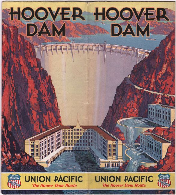
This is the uncommon first edition of this popular bird's-eye view, which was published until the late 50s, with variations on the title indicating the progress of the project and evolution of the region. It was published in 1931, the same year construction began on the Hoover Dam. A promotional piece by the Union Pacific Railway, the map is a high elevation view showing Hoover Dam and the surrounding region, including parts of California, Nevada, Utah, and Arizona. The large lake behind Hoover Dam is yet to be named. Boulder City is shown, with the smaller Las Vegas in the distance. The Union Pacific Railroad goes to Salt Lake City, on the far horizon, with side tracks to Cedar Breaks, Zion and Bryce national parks, and the north rim of the Grand Canyon, with the lodge identified. Folds into self wrappers (4 x 9") with a large and colorful Art Deco drawing of the dam making the cover. On the verso, 16 panels provide information on the dam and the area - including a photo of a lazy Las Vegas street - "new hotels have been planned." Also on verso is a system map for the Union Pacific that extends from Chicago to the west coast. Copyright is by R.B. Robertson for the Union Pacific System, map drawn by Gerald A. Eddy (1890-1967) of Los Angeles.
References:
Condition: A
A bright and colorful example, issued folding, with a couple minor splits at the fold junctions.


