Subject: Central & Southern California
Period: 1935 (dated)
Publication:
Color: Printed Color
Size:
24.4 x 18.3 inches
62 x 46.5 cm
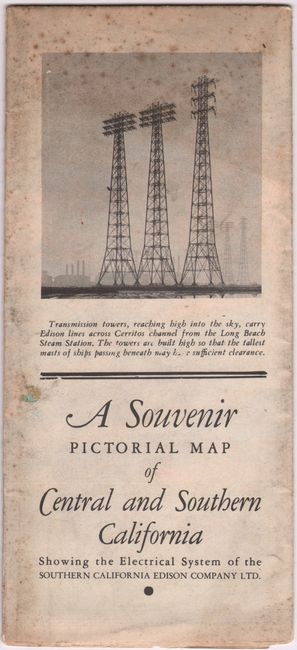
This rare promotional pictorial map was published by the Southern California Edison Company Ltd. It spans from the Sierra Nevada south to Huntington Beach and emphasizes how the Edison Company powers the region. According to the informative copy below the title cartouche, "Service of the Edison Company is supplied to 380,000 urban homes, 21,000 factories, 51,000 commercial establishments and 34,000 farms." Throughout the map, the company's lines are shown in red spreading across the landscape, with some of them tracing to a large vignette of the Boulder Dam at top right. There are illustrations of the company's largest hydroelectric development in Fresno, the steam-electric station on Terminal Island, and various other plants. A legend identifies hydroelectric plants, sub-stations, steam plants, and district offices, and energy-related factoids appear all across the map. The topography is graphically depicted, and there is plenty of classic California iconography: orange groves, oil fields, Mission Santa Barbara, a prospector in the "American Sahara," and more. A lineman and a surveyor flank the text cartouche. The map is surrounded by a decorative border, adorned with a compass rose, and features a cartouche across the bottom with ten vignettes charting the history of energy in the region. Verso includes black & white photos and text on the development of the Edison Company. Self-folds into a brochure (4.3 x 9.4") with the cover title A Souvenir Pictorial Map of Central and Southern California Showing the Electrical System of the Southern California Edison Company Ltd.
References: Rumsey #9525.
Condition: B+
A colorful example, issued folding, with a 1" separation along the horizontal fold and a small area of loss at bottom right.


