Catalog Archive
Auction 195, Lot 29
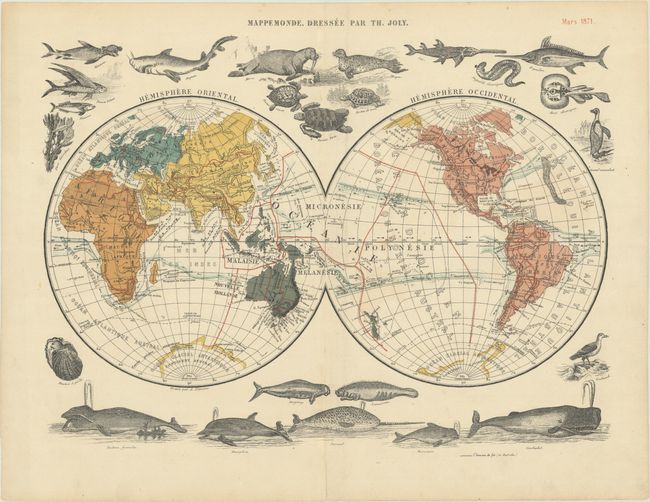
"Mappemonde, Dressee par Th. Joly"

Subject: World
Period: 1871 (dated)
Publication: Grand Atlas Classique de Géographie Moderne, Moyen-Age et Ancienne
Color: Printed Color
Size:
15.3 x 11.6 inches
38.9 x 29.5 cm
Download High Resolution Image
(or just click on image to launch the Zoom viewer)
(or just click on image to launch the Zoom viewer)

