Subject: Northern Wyoming
Period: 1960 (dated)
Publication:
Color: Printed Color
Size:
22 x 15.8 inches
55.9 x 40.1 cm
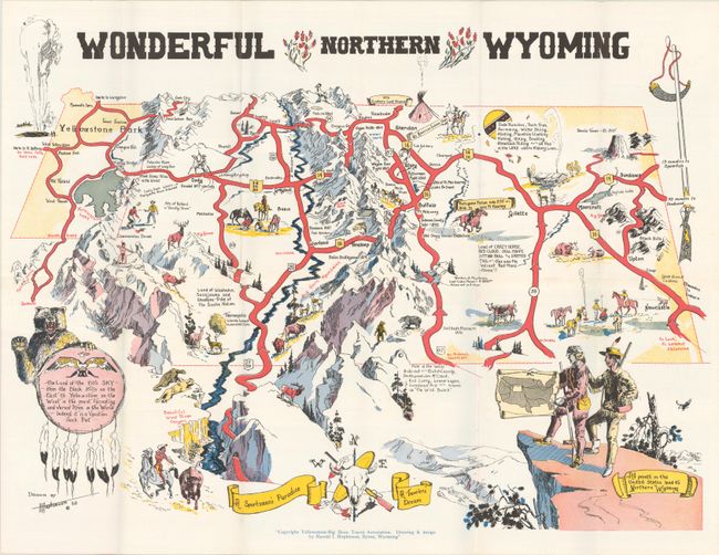
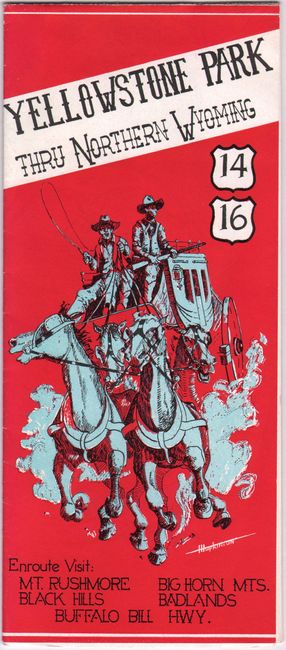
This rare pictorial map was drawn and designed by Harold I. Hopkinson of Byron, Wyoming. Yellowstone Park appears at top left, alongside a vignette of Old Faithful erupting. The map extends to Devils Tower and the Black Hills in the east. The landscape is filled with illustrations of sites of interest, historical episodes, Western iconography, and wildlife, including two mountain lions overlooking Wind River Canyon; a shootout in the ghost town of Arland; Hole in the Wall, the hideout of Butch Cassidy and the Sundance Kid; a buffalo hunt; and much more. At bottom left a bear holds an Indigenous shield that refers to the "Land of the Big Sky" as a "Vacation Jack Pot." The vignette at bottom right shows two figures who resemble Lewis and Clark standing on the edge of a cliff holding a map the demonstrates that "All points in the United States lead to Northern Wyoming." The compass rose at bottom incorporates a bull's skull, guns, and a peace pipe. Folds into a pamphlet with an illustrated stagecoach cover. Issued by Yellowstone-Big Horn Travel Association. We have only seen one other example of this map on the market, and it is an earlier 1958 issue with a different set of illustrations by Hopkinson.
References:
Condition: A
A clean and crisp example, issued folding, with a few tiny splits at fold intersections.


