Catalog Archive
Auction 195, Lot 368
NO RESERVE
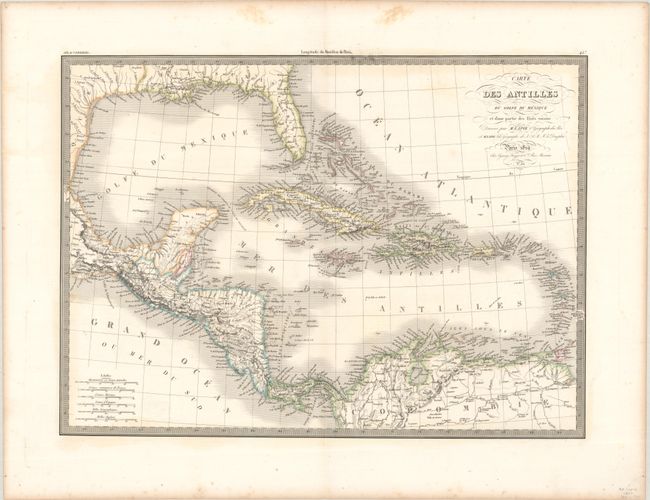
"Carte des Antilles du Golfe du Mexique et d'une Partie des Etats Voisins...", Lapie, Alexander Emile & Pierre

Subject: Gulf of Mexico & Caribbean
Period: 1829 (dated)
Publication: Atlas Universel
Color: Hand Color
Size:
21.3 x 15.6 inches
54.1 x 39.6 cm
Download High Resolution Image
(or just click on image to launch the Zoom viewer)
(or just click on image to launch the Zoom viewer)

