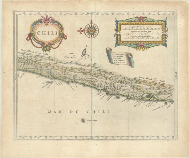
Subject: Chile
Period: 1633 (circa)
Publication: Novus Orbis seu Descriptionis Indiae Occientalis...
Color: Hand Color
Size:
14 x 11.1 inches
35.6 x 28.2 cm
This bold map covers Chili, from Puente de Vetes in the North to Cap de Diego Gallego in the south with north to the left. Beautiful title cartouche, scale of miles, map key, and a large compass rose make this a very attractive sheet. Hessel Gerritsz's cartography of South America laid the foundation for many other cartographers. Johannes de Laet, the director of the Dutch West India Company, was privy to the latest topographical knowledge.
References: Shirley (BL Atlases) G.LAET-1c.
Condition: B+
A nice impression on a sheet with a coat of arms watermark. There is light scattered foxing, toning mostly confined to the edges of the sheet, and an archivally repaired centerfold separation that just enters map image at top. A couple short edge tears are confined to the top blank margin.


