Subject: Southeast England, London
Period: 1899 (dated)
Publication:
Color: Printed Color
Size:
22.8 x 24.5 inches
57.9 x 62.2 cm
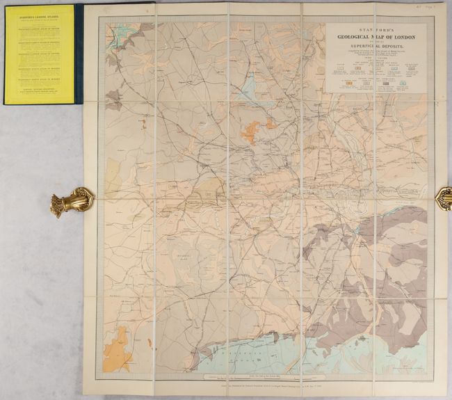
This geological map focuses on the region surrounding London, extending west just shy of where Heathrow Airport now stands, north to Monken Hadley, and south to Addington. A colored key identifies nine different types of soil deposits and geological formations. Towns, roads and railways are also shown. Compiled by J.B. Jordan and surveyed by W. Whitaker Esq. Issued dissected into 20 squares, mounted on linen, and folding into black pebbled cloth covers with embossing and gilt titling on front cover. A list of "Stanford's Leading Atlases" is pasted onto the inside front cover.
References:
Condition: A
Minor soiling on the map. The covers show minor wear.