Catalog Archive
Auction 195, Lot 517

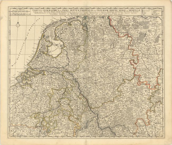
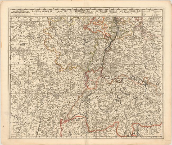
"[Lot of 2] Tabula Geographica qua Pars Septentrionalis sive Inferior Rheni, Mosae, et Mosellae… [and] Tabula Geographica qua Pars Meridionalis sive Superior Rheni, Mosae, et Mosellae…", Visscher, Nicolas

Subject: Western Europe, Rivers

Period: 1690 (circa)

Publication:

Color: Hand Color

Size:
21.8 x 18.5 inches
55.4 x 47 cm
Download High Resolution Image
(or just click on image to launch the Zoom viewer)

Informative pair of matched maps that detail the watershed of three major rivers (the Meuse, Moselle and Rhine) and provide an excellent perspective on the complexity of the northern European river systems. The maps are fully engraved to show mountains, rivers, lakes, streams, forests, lowlands, cities, fortifications, and tiny villages. Each map stands on its own with full borders, a title, a simple compass rose, and a key to the types of towns on the map.

References:

Condition: A

Nice, sharp impressions with contemporary outline color and a small amount of toning on the centerfold of the northern sheet.

Estimate: $325 - $400

Sold for: $190

Closed on 11/15/2023

Archived