Catalog Archive
Auction 195, Lot 521
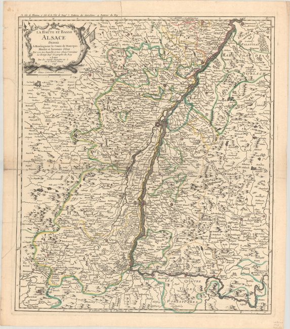
"La Haute et Basse Alsace Dediee a Monseigneur le Comte de Maurepas Ministre et Secretaire d Etat...", Le Rouge, George Louis

Subject: Northeastern France & Southwestern Germany, Rhine River
Period: 1743 (dated)
Publication:
Color: Hand Color
Size:
18.9 x 21.9 inches
48 x 55.6 cm
Download High Resolution Image
(or just click on image to launch the Zoom viewer)
(or just click on image to launch the Zoom viewer)

