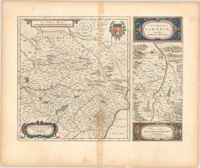
Subject: Central France
Period: 1642 (circa)
Publication:
Color: Hand Color
Size:
19.9 x 15.1 inches
50.5 x 38.4 cm
This sheet includes two maps side-by-side, each with separate title cartouches. The map at left follows the work of physician Jean Fayen and shows the region surrounding Limoges, extending as far south as Brive-la-Gaillarde, west just past St. Junien, and east to the Dordogne River. At right is a map based on the work of Gabriel Symeoni, which follows the Allier River, a tributary of the Loire River, with the cities of Clermont-Ferrand and Beauregard-l'Évêque. Dutch text on verso, published between 1642-64.
References: Van der Krogt (Vol. II) #4560+4857:2.
Condition: B
A crisp impression with full contemporary color on a bright sheet with dampstaining along the centerfold at top and bottom and a few abrasions in the cartouche at bottom right. There are short centerfold separations at top and bottom as well as a few small worm tracks at bottom that have been repaired on recto.


