Catalog Archive
Auction 195, Lot 578
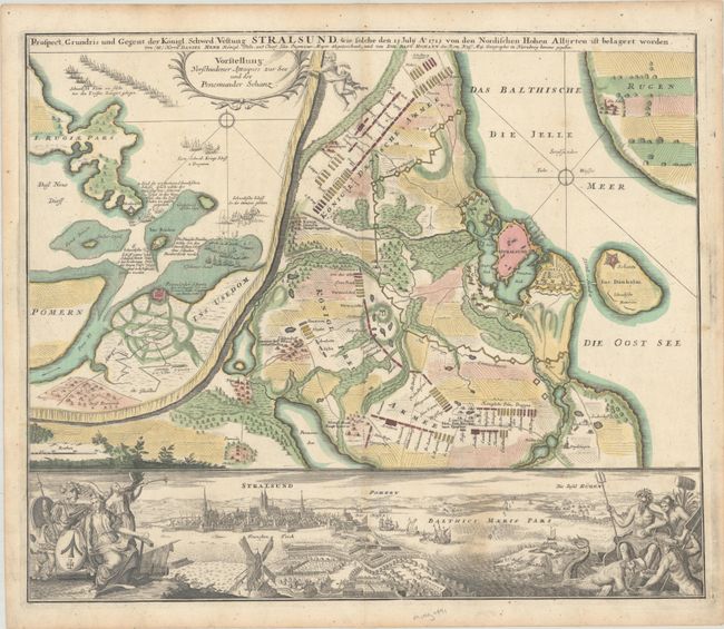
"Prospect Grundris und Gegent der Konigl. Schwed. Vestung Stralsund, wie Solche den 15 Julij Ao. 1715...", Homann, Johann Baptist

Subject: Stralsund, Germany
Period: 1737 (circa)
Publication:
Color: Hand Color
Size:
22.8 x 19.1 inches
57.9 x 48.5 cm
Download High Resolution Image
(or just click on image to launch the Zoom viewer)
(or just click on image to launch the Zoom viewer)

