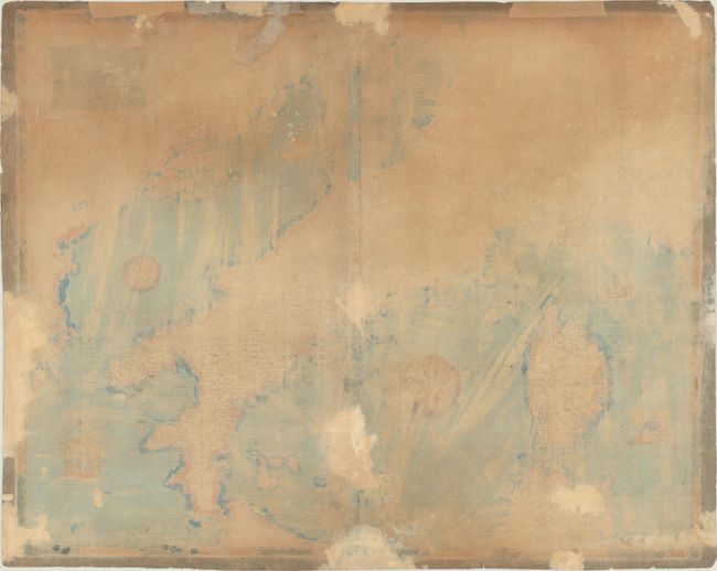
Subject: Italy
Period: 1669 (circa)
Publication:
Color: Hand Color
Size:
19.8 x 15.8 inches
50.3 x 40.1 cm
This map of Italy is a close copy of Claudio Duchetti's 1582 map with a similar title (Geographia Moderna de Tutta la Italia). Duchetti was the nephew and part heir to Antonio Lafreri and the successor to his business. The Lafreri name has become synonymous with some of the greatest Italian map-makers of the 16th century, and gave name to the "Lafreri school," which was a loosely affiliated group of cartographers, mapmakers, engravers, and publishers who worked in the major Italian publishing centers of Rome and Venice, from about 1544 to 1585. Duchetti's map of Italy was based on Giacomo Gastaldi's 1561 map (Il Disegno della Geografia Moderna de Tutta la Provincia de la Italia) with updated decorative elements. Matteo Florimi, a publisher based in Siena, issued a copy of Duchetti's map circa 1590. After Florimi's death in 1613, many of his plates were acquired by the Sienese publisher Pietro Petrucci, who reissued them with his imprint replacing that of Florimi.
This map depicts Italy, the Dalmatian coast, Corsica, and northern Sardinia and Sicily. Hundreds of towns of various sizes are shown in addition to the river systems in the region and a few topographical details. Two wind roses and a number of sailing ships occupy the surrounding seas, and the map is further adorned with a rectangular strapwork title cartouche that incorporates the distance scale.
All editions of this map are extremely rare. We have found no examples of the Petrucci edition being offered in the marketplace in the last 30 years, nor any examples in libraries or institutions.
References:
Condition: B
A nice impression on a fragile sheet with a sun watermark, light soiling, and dark brown wash color added to the margins. There are archival repairs to a small hole at bottom right, some separations along the centerfold at bottom, and to some chips and tears along the edges of the sheet.


