Catalog Archive
Auction 195, Lot 764
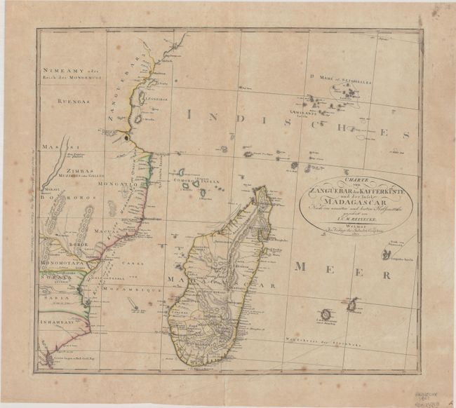
"Charte von Zanguebar der Kafferkuste und der Insel Madagascar nach den Neuesten und Besten Hulfsmitteln", Reinecke, Johann Matthais Christoph

Subject: Eastern Africa & Madagascar
Period: 1801 (dated)
Publication:
Color: Hand Color
Size:
18.9 x 16.9 inches
48 x 42.9 cm
Download High Resolution Image
(or just click on image to launch the Zoom viewer)
(or just click on image to launch the Zoom viewer)

