Subject: Atlases
Period: 1833 (published)
Publication:
Color: Hand Color
Size:
6 x 5.4 inches
15.2 x 13.7 cm
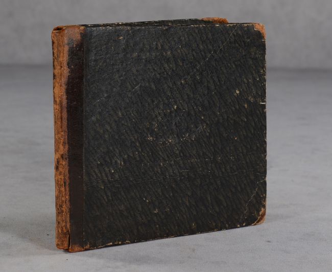
This small German atlas by Eduard Beer contains 24 single-page maps featuring the eastern & western hemispheres (2), Europe, Asia, Africa, Americas, Australia, and 17 regional maps of Europe. The map of the Americas makes no mention of Texas, shows a couple of possible rivers crossing the Great Basin to the Pacific (pre-Fremont), and shows the Pacific Northwest under U.S. control and extending into British Columbia. The map of Africa shows good coastal detail, but most of the interior is labeled as "Unbekannte Lander" (unknown countries). There is no title page as issued, and the title was typically pasted on to the front cover (not present here). Hardbound in quarter leather with tips over stiff paper boards.
References: King (Miniature Atlases Website) #1833 Beer.
Condition: B+
Maps are good to mostly very good with light soiling mostly at lower right, some minor staining along the gutter, and occasional light toning or foxing. Covers are worn along the edges and spine.


