Subject: Geography Books
Period: 1725 (published)
Publication:
Color: Black & White
Size:
4 x 6.6 inches
10.2 x 16.8 cm
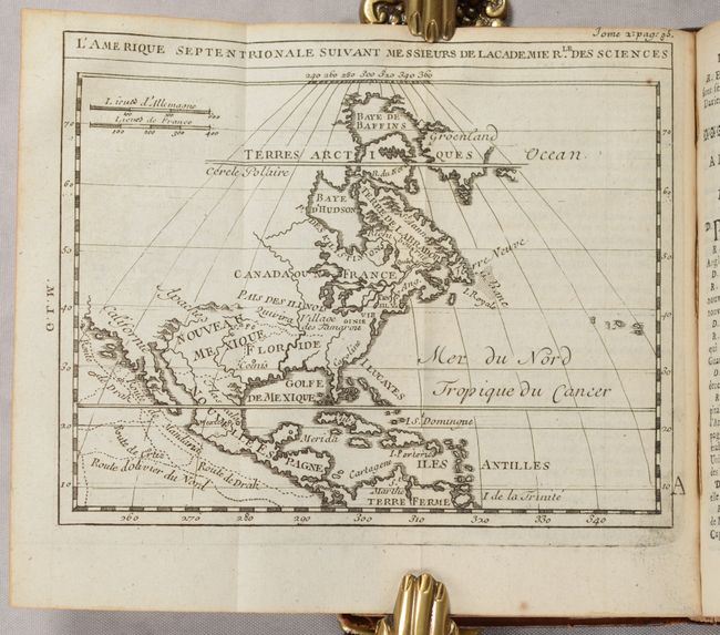
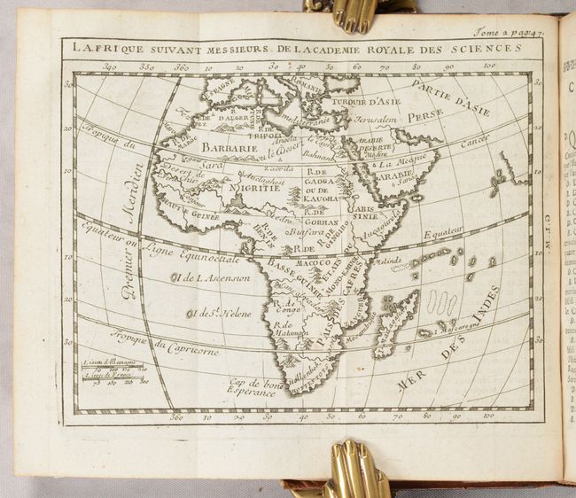
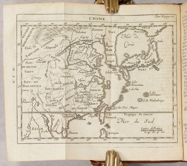
This is volume 2 of Sieur de Chevigny's 4-volume work, which focuses on the geography of Asia, Africa and the Americas, as well as the history of the world. It includes a folding table of historical empires and 12 folding maps of the Ancient World, North America, South America, Asia, the Middle East, Persia, China, East Indies, Southern Asia, Africa, Greece, and Central Italy. Each map measures approximately 6.5" x 5.5", however the map of the Ancient World measures 14" x 5.5".
16mo. Title page; 12 folding maps; 1 folding table; 445 pp.; 3 pp. index. Hardbound in contemporary full leather; raised bands with gilt embossing and red leather title label on spine; marbled endpapers; and original ribbon page-marker.
References: cf. Shirley (BL Atlases) G.CHEV-1a.
Condition: A
Nearly all the maps are clean and bright with the exception of the map of the Ancient World, which has soiling along several folds. The folding table has some mis-folds and heavy soiling along the right edge of the sheet. The text is also generally bright with a small section near the center of the volume that is toned, and a number of pages are dog-eared. There are old manuscript ink notations on the title page (including adding an "L" to the date). The covers and spine are lightly worn and soiled with some small scuffs and abrasions, and a bit of cracking along the spine.


