Subject: Newfoundland & Labrador, Canada
Period: 1930 (circa)
Publication:
Color: Black & White
Size:
12.8 x 17.2 inches
32.5 x 43.7 cm
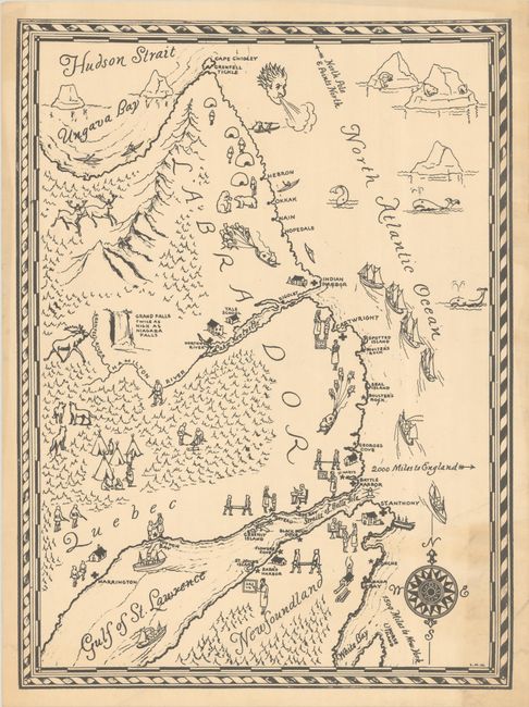
This scarce pictorial map covers the coast of Newfoundland and Labrador from White Bay north to Ungava Bay. The initials "L. M. H." are the only sign of the artist's imprint. Charming illustrations throughout the landscape include schools and hospitals, a pack of wolves, a moose, an Indigenous settlement in the forest south of Hamilton River, "Grand Falls Twice as High as Niagara Falls," dog sled teams, and a gathering of igloo-like structures. In the Atlantic are whales, a windhead, ice floes, various ships, and a decorative compass rose. An arrow at top points to "North Pole & Points North." An interesting map focused on a remote and sparsely populated region.
References:
Condition: B+
There is light toning and soiling in the bottom right corner.


