Subject: Florida
Period: 1900 (dated)
Publication:
Color: Printed Color
Size:
7.6 x 23.1 inches
19.3 x 58.7 cm
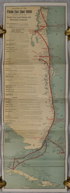
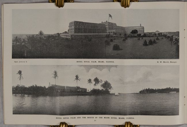
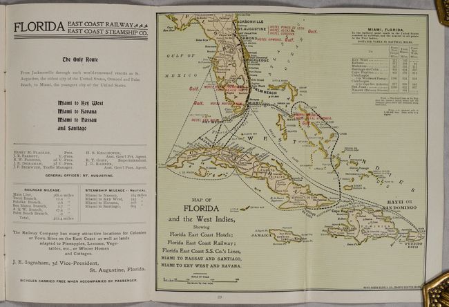
This map was published by the Rand Avery Supply Co. in Boston and shows the entire east coast of Florida as well as Cuba, Haiti and the Bahamas. The line of the Florida East Coast Railway is prominently depicted in red overprinting with information pertaining to various settlements and hotels along the route shown alt left. The railway ends in Miami, which is described as "the future Metropolis of Florida...Lots for rich and poor...Lands capable of raising tropical fruits." The map is accompanied by an additional smaller map entitled Map of Florida and the West Indies (7.4 x 7.4”). Accompanying 39 pages of text is filled with illustrations, including panoramic views of St. Augustine, Ormond Beach, Palm Beach, and Miami. There are many images of golfing along with a section on tournaments of the Florida East Coast Golf Club, including golf course maps for six locations. Self-folding into pictorial wrappers. We found only one institutional example (Florida International University) located on OCLC.
References:
Condition: A
Contents are clean, bright and near fine with one tiny edge tear on a text page confined to the blank margin. Issued folding.


