Catalog Archive
Auction 196, Lot 248
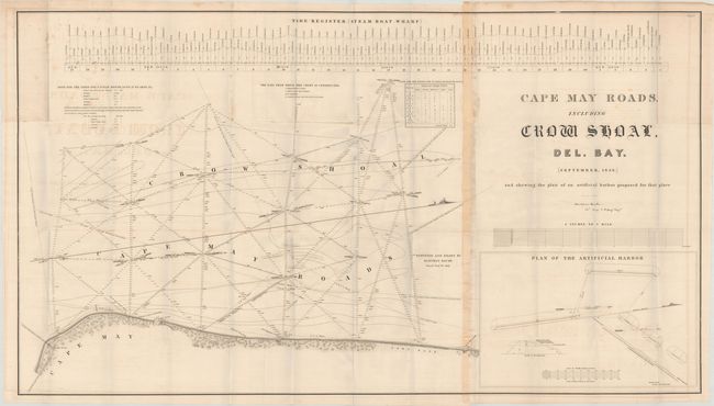
"Cape May Roads, Including Crow Shoal, Del. Bay. (September, 1836) and Shewing the Plan of an Artificial Harbor Proposed for That Place", Bache, Hartman (Bt. Major)

Subject: Cape May, New Jersey
Period: 1838 (circa)
Publication: Sen. Ex. Doc. 155, 25th Congress, 2nd Session
Color: Black & White
Size:
45 x 25.4 inches
114.3 x 64.5 cm
Download High Resolution Image
(or just click on image to launch the Zoom viewer)
(or just click on image to launch the Zoom viewer)

