Catalog Archive
Auction 196, Lot 350
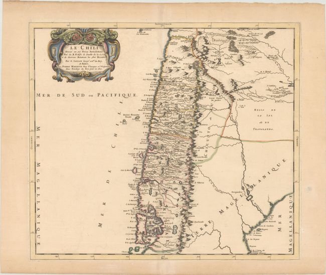
"Le Chili Divise en ses Treize Iurisdictions Tire du R.P. Alfo. de Oualle de la C. d. I. et de Diverses Relations les Plus Recentes", Sanson/Mariette

Subject: Chile
Period: 1669 (dated)
Publication: Cartes Generales de Toutes les Parties du Monde...
Color: Hand Color
Size:
17.9 x 15.8 inches
45.5 x 40.1 cm
Download High Resolution Image
(or just click on image to launch the Zoom viewer)
(or just click on image to launch the Zoom viewer)

