Catalog Archive
Auction 196, Lot 437
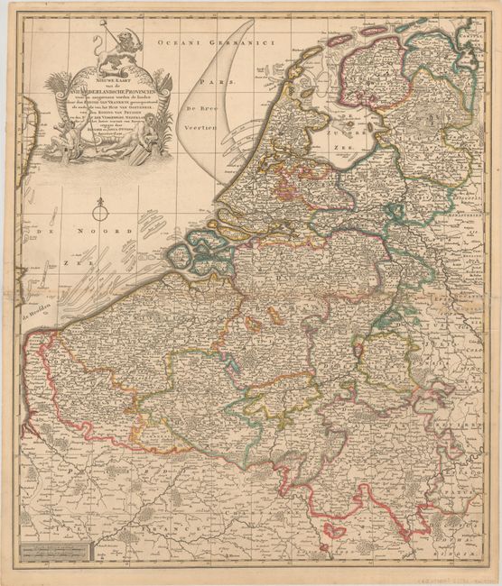
"Nieuwe Kaart van de XVII Nederlandsche Provincien waar in Aangewezen Worden de Landen door den Koning van Vrankryk...", Ottens, Reiner and Joshua

Subject: Low Countries
Period: 1730 (circa)
Publication:
Color: Hand Color
Size:
19.9 x 23.3 inches
50.5 x 59.2 cm
Download High Resolution Image
(or just click on image to launch the Zoom viewer)
(or just click on image to launch the Zoom viewer)

