Catalog Archive
Auction 196, Lot 460
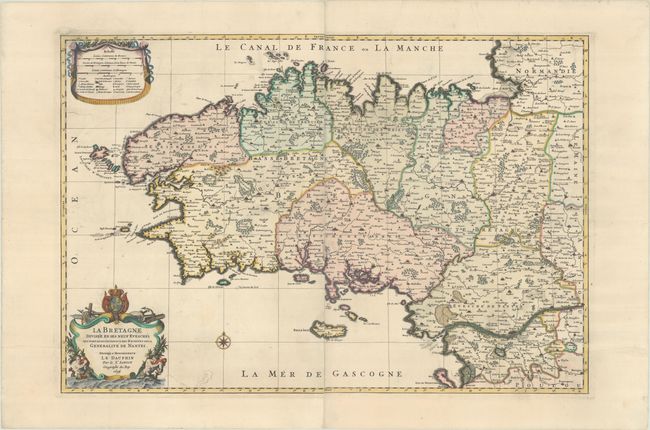
"La Bretagne Divisee en ses Neuf Evesches qui font Aussi l'Estendue des Receptes de la Generalite e Nantes", Sanson/Jaillot

Subject: Western France
Period: 1696 (dated)
Publication:
Color: Hand Color
Size:
31.3 x 21.3 inches
79.5 x 54.1 cm
Download High Resolution Image
(or just click on image to launch the Zoom viewer)
(or just click on image to launch the Zoom viewer)

