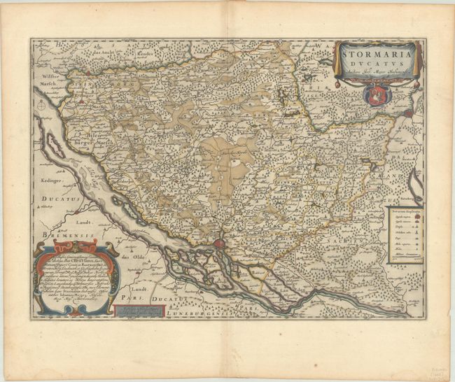
Subject: Northern Germany
Period: 1659 (circa)
Publication:
Color: Hand Color
Size:
21.9 x 15.6 inches
55.6 x 39.6 cm
This is a beautiful map of Schleswig-Holstein with Hamburg at bottom center depicted as a miniature bird's-eye plan. The map extends northeast to Lubeck and northwest to Itzehoe. The map is filled with detail of roads, fortified cities, and small towns and even names the islands in the Elbe. The cartouche at bottom left dedicates the map to Christian Count of Rantzow by Johannes Mejer. Engraved by Matthias and Nicolaus Peters. Spanish text on verso, published between 1659-72.
References: Van der Krogt (Vol. II) #1675:2.2.
Condition: A
A dark impression with full contemporary color on a sheet with a large watermark of the god Atlas. There are two small abrasions in and adjacent to Hamburg, as well as marginal soiling.


