Catalog Archive
Auction 196, Lot 527
"[Lot of 2] 'T Noorderdeel van Moscovie na de Stelling van G. de l'Isle... [and] T Zuider-Deel van Moscovie, na de Stelling van G. de Lisle...", Keizer/De Lat

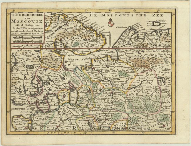

Subject: Russia in Europe
Period: 1747 (circa)
Publication:
Color: Hand Color
Size:
9.4 x 7.1 inches
23.9 x 18 cm
Download High Resolution Image
(or just click on image to launch the Zoom viewer)
(or just click on image to launch the Zoom viewer)