Subject: Cartographic Miscellany, Fictional Map
Period: 1945 (circa)
Publication:
Color: Printed Color
Size:
22.3 x 16.9 inches
56.6 x 42.9 cm
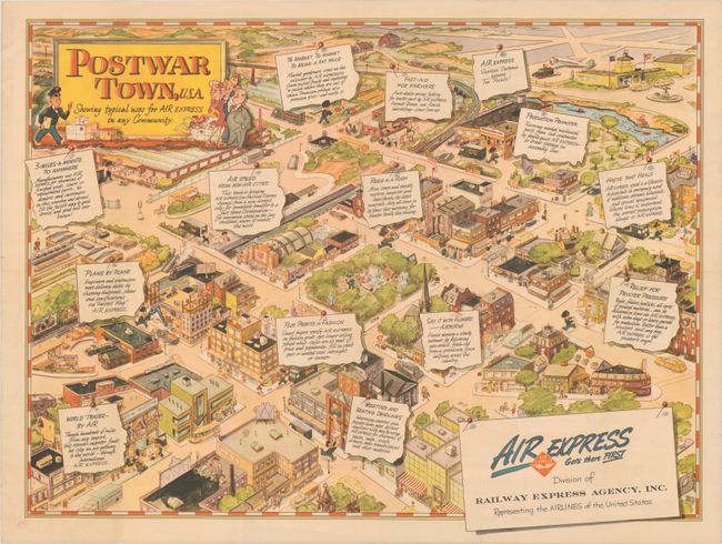
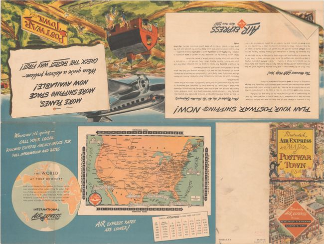
This unusual pictorial map was created for Railway Express Agency, Inc., who represent "the AIRLINES of the United States." Introductory text on verso states "this is probably a different kind of map you never saw before. It doesn’t show you how to go anywhere. It isn’t even a map of any real town.” Instead, it presents a fictional town with the many ways air express can help businesses and residents. Benefits to local business are described in detail with headers including "Meeting and Beating Deadlines," "World Trader - By Air," "Relief For Printer Pressure" and more. Self-folding into pictorial wrappers (4.0 x 8.9"). We found only three locations for this map on OCLC.
References: Rumsey #11059.
Condition: A
Issued folding with just a few tiny splits at the fold junctions. A short edge tear is confined to the right blank margin.


