Subject: Northwestern United States & Canada
Period: 1930 (circa)
Publication:
Color: Printed Color
Size:
29.8 x 16.8 inches
75.7 x 42.7 cm
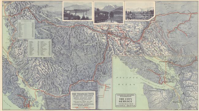
This tourist brochure features two maps that detail the Canadian railway and steamship routes in the Pacific Northwest. The first map focuses on the southern portion of British Columbia and offers a "triangle tour" between Jasper National Park, Mount Robson Park, and the North Pacific Coast. It shows the railroad routes in bold red lines with stops marked by small circles, and the steamship routes along the coastlines are dashed red lines. There are photographic images of the two parks and a train bridge at top, and insets at left list the heights of various mountain peaks in the area. An inset at bottom right shows the steamship route extending to Seattle, Washington.
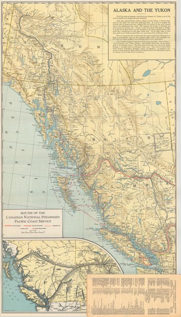
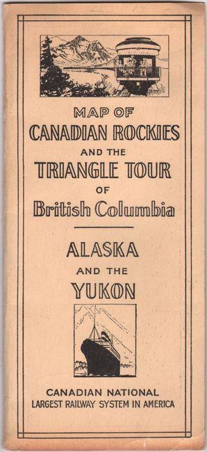
The second map shows nearly all of British Columbia, southern Yukon, and the southeastern tip of Alaska. Here again railroads and steamship routes are shown in detail. The text at top right mentions the gold regions in Alaska and the Yukon, and explains that the beauty of these areas is an even greater draw than the gold. Published by Canadian National Railway Company. Folds into printed paper wrappers.
References: cf. PJ Mode Collection #1219.
Condition: A
The folding map is clean and colorful. Paper wrappers have some minor wear and toning along the bottom edge.


