Catalog Archive
Auction 197, Lot 120
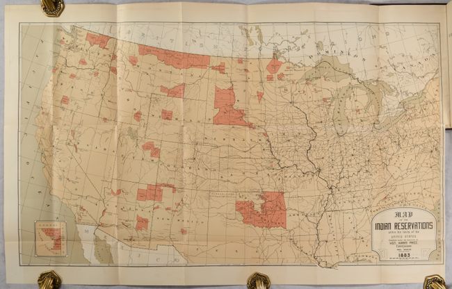
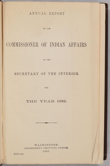
"[Map in Book] Map of the Indian Reservations Within the Limits of the United States [in] Annual Report of the Commissioner of Indian Affairs to the Secretary of the Inferior for the Year 1883 ", U.S. Bureau of Indian Affairs
Subject: United States
Period: 1883 (published)
Publication:
Color: Printed Color
Size:
30.3 x 17.4 inches
77 x 44.2 cm
Download High Resolution Image
(or just click on image to launch the Zoom viewer)
(or just click on image to launch the Zoom viewer)


