Subject: United States
Period: 1932 (dated)
Publication:
Color: Printed Color
Size:
46 x 24.8 inches
116.8 x 63 cm
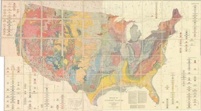
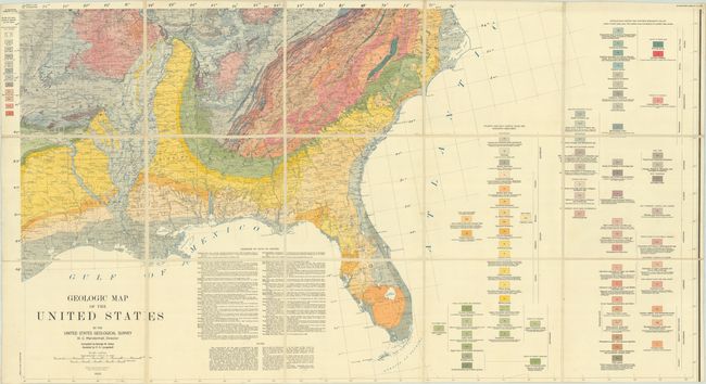
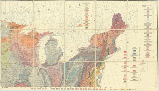
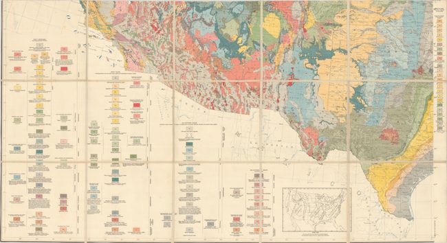
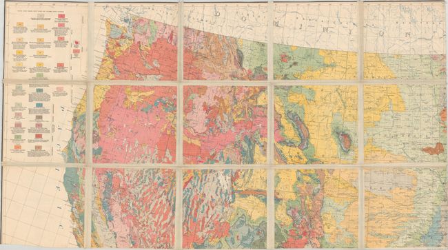
This incredibly detailed, geologic map of the United States was compiled by George W. Stose, assisted by O. A. Ljungstedt, and issued on four sheets. Although the U.S.G.S. published a geologic map of North America with the cooperation of Canada and Mexico in 1911, this map of the United States was the first published of the country proper since McGee’s Reconnoissance Map of the United States, Showing the Distribution of the Geologic Systems So Far As Known in 1894, which had left large portions of the western U.S. uncompleted. Many of the intervening years at the Survey were focused on refining stratigraphic correlations and publication of larger scale state geologic maps. This map stood as the standard reference work on the geology of the United States for the succeeding 40 years until replaced by a revised map authored by Philip B. King and Helen M. Beikman in 1974. This is an example of the scarce first printing; a later reprinting was made in 1960. Published under the direction of W.C. Mendenhall. Dissected and backed with linen. If joined together, the map would measure an impressive 90 x 50".
References:
Condition: B+
Vibrant color on bright sheets with some minor foxing and a bit of toning in the upper left sheet. Three of the sheets have manuscript ink latitude and longitude markings and a few other minor notations in the margins. Dissected and backed with linen. The first image is a composite image - the map is on 4 separate sheets, with the upper left sheet having larger gaps between the map sections (possibly from a different example).


