Catalog Archive
Auction 197, Lot 125
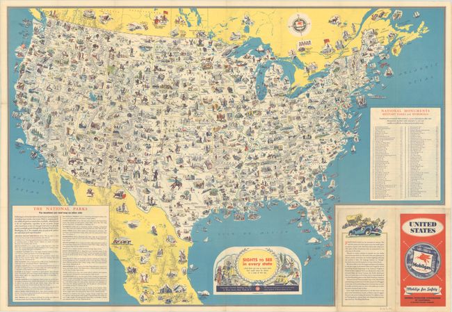
Early Version of a Popular Pictorial Map
"Sights to See in Every State - And There Are Ever So Many More That Could Never Be Shown on a Map of This Size"
Subject: United States
Period: 1936 (circa)
Publication:
Color: Printed Color
Size:
30.8 x 21.3 inches
78.2 x 54.1 cm
Download High Resolution Image
(or just click on image to launch the Zoom viewer)
(or just click on image to launch the Zoom viewer)


