Subject: United States
Period: 1944 (dated)
Publication:
Color: Printed Color
Size:
20 x 14.9 inches
50.8 x 37.8 cm
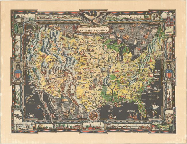
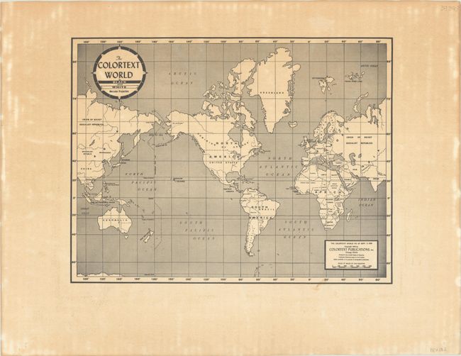
This handsome map packs the American landscape with images of historical personages, notable landmarks, industry, natural resources, wild life, and culture. Among the sights are the U.S. Capitol, Monticello, a Southern belle, Lincoln's childhood home, Mardi Gras in New Orleans, the Alamo, Oklahoma oil fields, Custer's last stand, Yellowstone, the Santa Fe Trail, the Mormon Temple, the Boulder Dam, the Gold Rush, Hollywood, and so much more. The map also extends to show parts of Canada and Mexico, with plenty of illustrations reflecting their respective cultures too. The decorative border incorporates vignettes of each of the thirteen original colonies, including a plantation scene in South Carolina, Independence Hall in Pennsylvania, a seaside scene in Connecticut, and the Wright brother's first flight in North Carolina. A world map appears on verso. Published by Chicago-based Colortext Publications, Inc., which created a series of "Story Maps" of different countries and regions.
References: Rumsey #12036.
Condition: A
A colorful example with light toning and staining mostly in the margins.


