Subject: Eastern United States
Period: 1836 (published)
Publication:
Color: Black & White
Size:
11.5 x 9.8 inches
29.2 x 24.9 cm
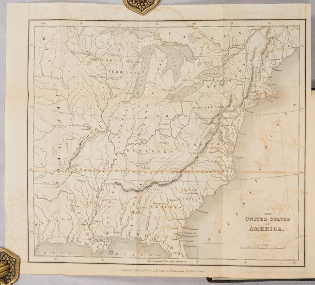
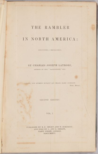
This small map served as the frontispiece to Charles Joseph Latrobe's The Rambler in North America. The map extends from the eastern seaboard to beyond the Mississippi River and locates Northwest Territory in today's Wisconsin and Upper Michigan, the state of Missouri, and a vast Missouri Territory to its west. There is good detail of the river systems throughout, some place names, and a few Indian tribes in the west. Despite the 1836 publication date, Texas is not named and the region is simply Mexico. Sabin notes that Latrobe accompanied Washington Irving on his tour of the prairies, "and a large part of the work is occupied with observations of Indian life." Volume 1 only. 321 pages. Hardbound in quarter leather with tips over cloth boards with gilt title and raised bands on spine. A.E.G.
References: Howes #L-127; Sabin #39222.
Condition: B
The folding map has some offsetting. Text is mostly clean and bright with an occasional spot of foxing. Text block is cracked at one signature and the binding has some shelf wear.


