Catalog Archive
Auction 197, Lot 180
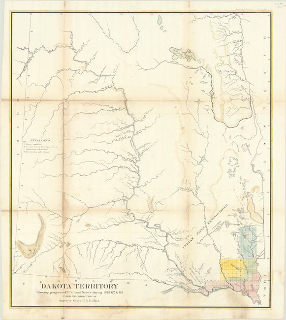
"Dakota Territory Showing Progress of U.S. Land Survey During 1861 62, & 63 Under the Direction of Surveyor General G.D. Hill", General Land Office

Subject: Dakota Territory
Period: 1864 (circa)
Publication: H.R. Doc. No. 1, 38th Congress, 1st Session
Color: Hand Color
Size:
21 x 23.8 inches
53.3 x 60.5 cm
Download High Resolution Image
(or just click on image to launch the Zoom viewer)
(or just click on image to launch the Zoom viewer)

