Subject: Northern California
Period: 1987 (dated)
Publication:
Color: Printed Color
Size:
16.6 x 21.8 inches
42.2 x 55.4 cm
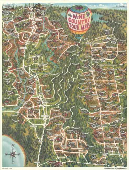
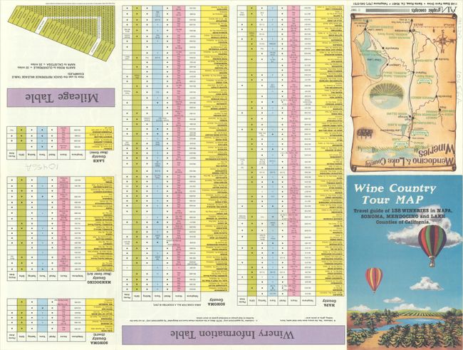
This splashy pictorial map depicts California's famous Wine Country as it might appear from the vantage of a hot air balloon. The map spans from Asti south to Napa and identifies Geyserville, Healdsburg, Sonoma, Calistoga, St. Helena, and more. It's decorated by a title cartouche taking the form of a hot air balloon and a compass rose. The verso contains a small map of Mendocino & Lake County wineries along with a large table listing wineries in Napa, Sonoma, Mendocino, and Lake counties. The map, first issued in 1981, was designed by Ron Morales and issued as a pamphlet by Graphic Concepts Co., based in Santa Rosa.
References:
Condition: A
A colorful example, issued folding, with minor wear along the fold lines.


