Catalog Archive
Auction 197, Lot 201
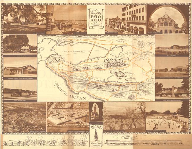
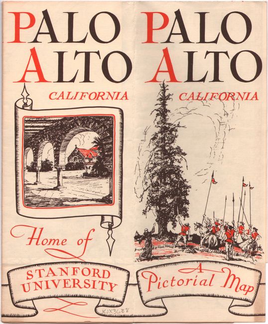
"A Pictorial Map of Palo Alto and the San Francisco Peninsula"
Subject: San Francisco Bay Area, Palo Alto
Period: 1946 (circa)
Publication:
Color: Printed Color
Size:
20.7 x 15.9 inches
52.6 x 40.4 cm
Download High Resolution Image
(or just click on image to launch the Zoom viewer)
(or just click on image to launch the Zoom viewer)


