Subject: Long Beach, California
Period: 1923 (dated)
Publication:
Color: Printed Color
Size:
20.8 x 16.8 inches
52.8 x 42.7 cm
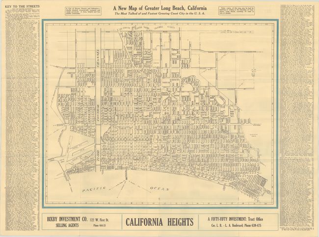
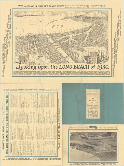
This map presenting the early street-grid pattern of Long Beach was drawn by Anna Bickley and sold through the Chamber of Commerce and “leading stationers and druggists” for 15 cents. The city’s footprint extends from the old Los Angeles River east to Nieto Avenue, and from Ocean Avenue east to Wardlow Road with a long Pacific Electric Railway right-of-way cutting diagonally through the city. Text above the map states that Long Beach is “ideally situated, economically managed and wisely governed. A clean, helpful and hospitable community.” The map is flanked by a street index at left and right with advertisements in the margins on both recto and verso. The verso contains a large pictorial bird’s-eye view entitled Looking Upon the Long Beach of 1930 (11.3 x 16.6”) and a smaller aerial view of Long Beach Harbor. The map was issued in a period of tremendous growth. While the brochure claims the population grew from 30,000 (1921) to 90,000 (1923), government figures show the city growing from 18,000 (1910) to 142,000 (1930). Self-folding (3.5 x 7.0”).
Copyright records show a smaller version of the map in 1921, this 1923 issue and one later edition in 1924. OCLC shows no records of this 1923 version, one copy of the 1921 edition (Cal State Library) and two locations (UC Berkeley and UCLA) for the 1924 issue. We found only one past sale record for any of the Bickley maps of Long Beach.
References:
Condition: B+
Issued folding with a few short splits at the fold junctions. There are punch holes along the center vertical fold and sheet edges from a previous owner.


