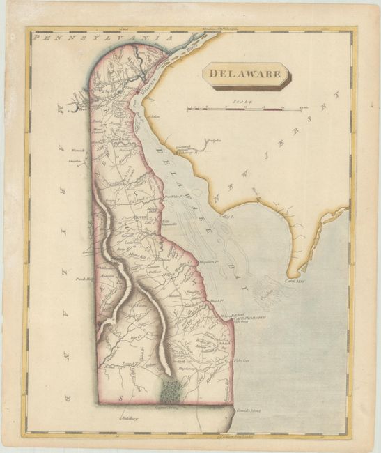
Subject: Delaware
Period: 1804 (circa)
Publication: A New and Elegant General Atlas
Color: Hand Color
Size:
8 x 9.9 inches
20.3 x 25.1 cm
This handsome early atlas map of the First State features plenty of place names and delineates roads. The three counties (New Castle, Kent, and Sussex) are identified, and several towns, cities, and interesting locations are named, including Wilmington, Dover, New Castle, Cantwell Bridge (now Odessa), and Cape Henlopen (with its lighthouse). A Cypress Swamp is graphically depicted in the south. Shortly after the turn of the century, Samuel Lewis joined with Aaron Arrowsmith (an English map publisher) to produce A New and Elegant General Atlas. The title page states the maps are "intended to accompany the new improved edition of Morse's Geography…" Several editions were published from 1804-1819.
References: Phillips (Atlases) #702-45.
Condition: A
Minor toning.


