Subject: Hawaii, World War II
Period: 1942 (published)
Publication: Chicago Daily Tribune
Color: Printed Color
Size:
20.9 x 15.9 inches
53.1 x 40.4 cm
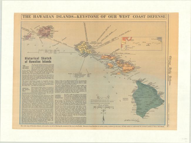
This handsome map of Hawaii by W.H. Wisner was published in the Chicago Daily Tribune "as an aid in following the progress of the war in the Pacific." It was published on January 7, 1942, exactly one month after the attack on Pearl Harbor. A small inset locates the islands in relation to East Asia and the Pacific Coast of the United States. The distances from Honolulu to various locations of strategic interest are shown. A historical sketch is included at bottom left. This example is mounted on linen.
References:
Condition: B+
On a lightly toned sheet that has been professionally backed with heavy linen to repair a short edge tear confined to the bottom blank margin.


