Subject: Lexington, Kentucky
Period: 1945-46 (dated)
Publication:
Color: Hand Color
Size:
16 x 18.8 inches
40.6 x 47.8 cm
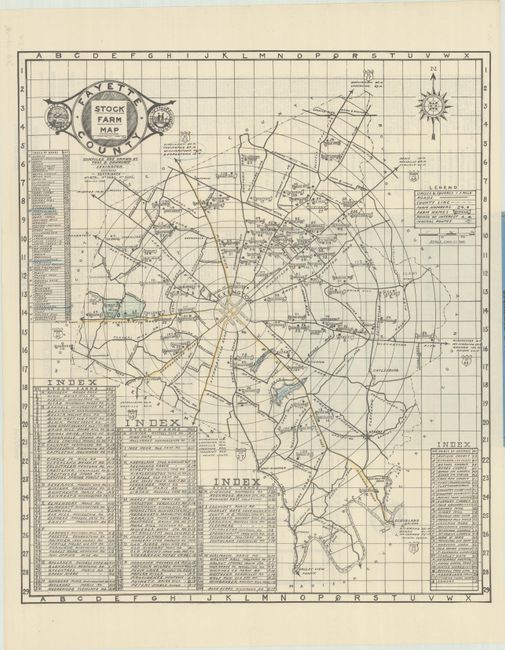
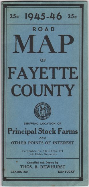
This promotional map by Thomas Dewhurst is centered on Lexington with radiating circles extending out to the Fayette County boundaries. It names and numbers 124 different horse stock farms in the county with an alphabetical index at lower left providing the full farm name and location. Many of the famous horse farms of the time are identified here including Calumet, Deveraux, Keeneland Stud, Spendthrift, War Horse Place, and more. An additional 35 points of interest located at bottom right are keyed to the map and there is a road index adjacent to the left border. Notable points of interest include Ashland (home of Henry Clay), Man O' War monument, Iroquois Hunt Club and Polo Field, Narcotic Farm, Horse Grave Yard, and more. Decorated by a title cartouche featuring the seals for the city of Lexington and state of Kentucky. Verso contains 6 small maps of driving routes for tourists and a listing of "Farms of Note in the Blue Grass Region of Kentucky." Folds into blue paper wrappers (3.7 x 8.0"). We found no past sales records for this map and only 1 institutional example on OCLC (University of Kentucky).
References:
Condition: A+
The folding map is clean, bright, and fine. Paper wrappers have minor wear.


