Catalog Archive
Auction 197, Lot 243
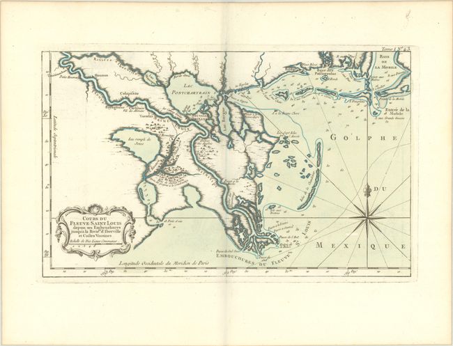
"Cours du Fleuve Saint Louis Depuis ses Embouchures Jusqu'a la Riviere d'Iberville et Costes Voisines", Bellin, Jacques Nicolas

Subject: Colonial Louisiana, Mississippi River
Period: 1764 (circa)
Publication: Le Petit Atlas Maritime…
Color: Hand Color
Size:
14 x 8.6 inches
35.6 x 21.8 cm
Download High Resolution Image
(or just click on image to launch the Zoom viewer)
(or just click on image to launch the Zoom viewer)

