Subject: Eastern Massachusetts
Period: 1934 (dated)
Publication:
Color: Printed Color
Size:
27.8 x 22 inches
70.6 x 55.9 cm
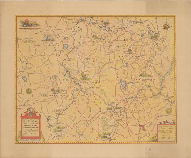
This scarce map by painter and war hero Dwight Shepler focuses on Norfolk County, Massachusetts, southwest of Boston. It extends from Holliston in the southeastern edge of Middlesex County east to Dedham. Each of the towns listed in the title cartouche are accompanied by a lovely illustration of a local scene, usually showcasing notable architecture. A legend at bottom right is decorated with wild life and identifies trails, paved and gravel roads, railroad stations, houses, hunt meets, railroads, and wooded and open areas. The title cartouche at bottom left incorporates a fox. Based on surveys by E. Worthington. Lithographed by Court Sq. Press.
Shepler (1905 -1975) was a Massachusetts native who studied painting and designed maps and ski posters before World War II. During the war, he received a commission from the Navy's officer-artist program and documented several battles, including the Battle of Normandy in 1944. He produced more than 300 paintings based on his experiences in the war.
References:
Condition: B+
On a lightly toned sheet with marginal foxing and pinholes in the corners, well away from map image.


