Subject: New York
Period: 1837 (dated)
Publication:
Color: Hand Color
Size:
21.1 x 16.9 inches
53.6 x 42.9 cm
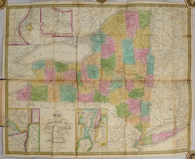
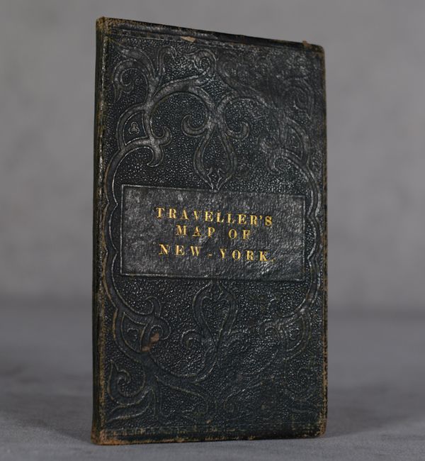
This pocket map of the state is finely engraved and presents county boundaries in full hand color along with good detail of towns, roads, railroads, canals and rivers. Five inset maps feature Niagara Falls, Rochester, Albany, New York City, and the course of the Hudson River from Albany to New York. Decorated by fancy titling and a decorative keyboard style border. Printed on thin banknote-style paper and folds into green leather covers with gilt title.
References:
Condition: B
Issued folding with light scattered foxing and several short fold separations that have been closed on verso with archival tape. There is one repair made along the lower left border on recto and some old tape remnants along the central horizontal fold on verso. Covers have average wear.


