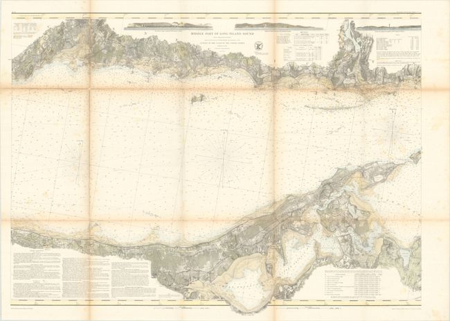
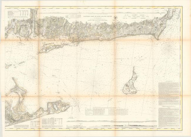
Subject: Long Island Sound, New York
Period: 1855 (dated)
Publication:
Color: Hand Color
Size:
35.2 x 25.8 inches
89.4 x 65.5 cm
The Office of Coast Survey is the oldest U.S. scientific organization, dating from 1807 when Congress directed that a "survey of the coast" be carried out. By 1836, it was called the U.S. Coast Survey and in 1878, the name was changed to the U.S. Coast and Geodetic Survey. Today the Office of Coast Survey is a division of the National Oceanic and Atmospheric Administration NOAA.
The survey teams, composed of civilians as well as Army and Naval officers, charted the nation's waterways and produced a wide array of reports, survey charts, hydrographic studies of tides and currents, astronomical studies and observations, and coastal pilots. These charts are an important record of the changing nature of the nation's coastlines. In additional to coastal charts, the U.S. Coast and Geodetic Survey produced land sketches, Civil War battle maps, and the early aeronautical charts.
This attractively colored pair of maps covers the eastern two-thirds of Long Island Sound in minute detail. The charts present coastal topography with many depth soundings, harbors, bays, rivers, and inlets. There are sailing directions and navigational notes on dangers, reefs, rocks, shoals, lighthouses, bottoms & current stations. Numerous horizontal landfall approach views and vignettes of lighthouses are presented along the edges. There is also good detail of settlements and agriculture along the coastlines, extending from Milford, CT to Wakefield, RI on the mainland and from Rocky Point to Montauk on Long Island. All are from a Trigonometrical Survey under the direction of F.R. Hassler, Superintendent of the Survey of the Coast of the United States.
References:
Condition: B
Issued folding with light toning along the fold lines, some light scattered foxing, and several short fold separations that have been closed on verso with old tape.


