Catalog Archive
Auction 197, Lot 281
"New Edition Pocket Map of Memphis with 283,225 Population, Properly Scaled, Giving New Street Names, New City Limits, Etc."
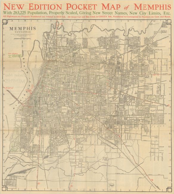
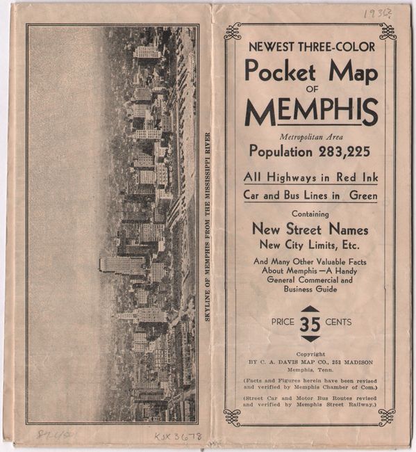
Subject: Memphis, Tennessee
Period: 1936 (circa)
Publication:
Color: Printed Color
Size:
21.5 x 21.8 inches
54.6 x 55.4 cm
Download High Resolution Image
(or just click on image to launch the Zoom viewer)
(or just click on image to launch the Zoom viewer)