Subject: Virginia & West Virginia
Period: 1869 (dated)
Publication:
Color: Hand Color
Size:
15.7 x 13.1 inches
39.9 x 33.3 cm
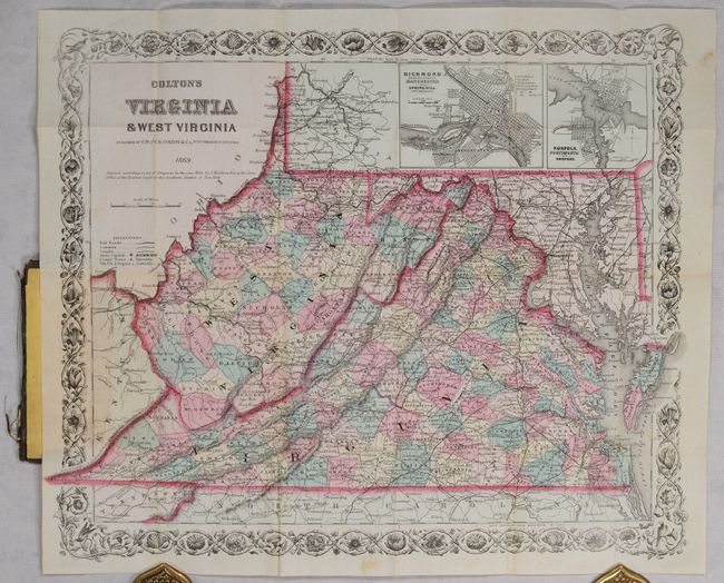
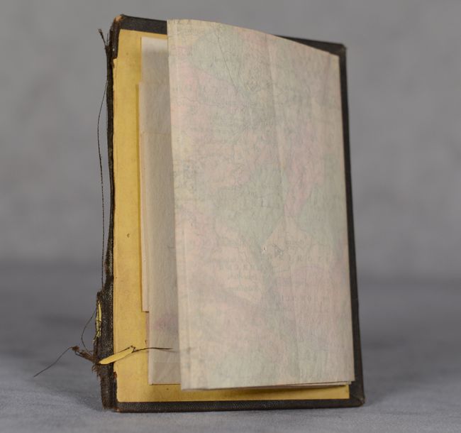
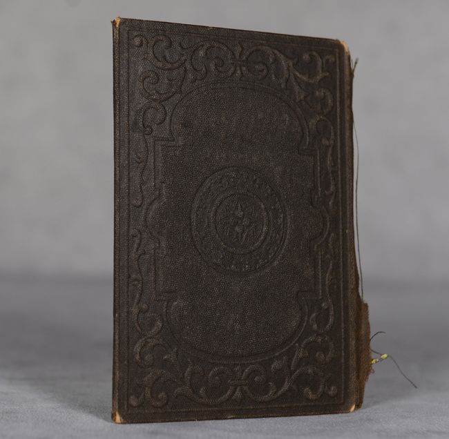
A nice pocket map issued only 6 years after West Virginia seceded from Virginia as a result of the Civil War. County configurations are current to West Virginia's creation and doesn't reflect the additions of Grant and Mineral (both 1866) in the northeastern part of the state. Highly detailed, the map presents towns, cities, railroads, canals, and wagon roads. Includes inset maps of Richmond and Norfolk at top. Folds into brown cloth boards (3.4 x 4.8") though the front cover is missing. The map is still attached to the rear board.
References:
Condition: A
Condition code is for the folding map, which is clean and bright with some minor archival reinforcement along the folds on verso. Front board is missing and rear board has minor wear. The map is still attached to the rear board.


